Icon Map - Location Intelligence for Power BI
Icon Map Pro and Icon Map Slicer are powerful custom map visuals for Microsoft Power BI that unlock mapping capabilities far beyond the built-in options. They let you work with custom basemaps, advanced layers, and dynamic styling, so you can create clear, interactive maps that fit your data and your story. Whether you're plotting thousands of points, analyzing regions, or building highly tailored geospatial dashboards, these visuals give you the flexibility and performance to make maps a central part of your reporting.
Icon Map Pro
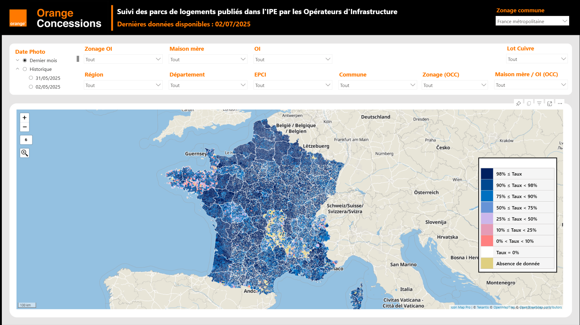
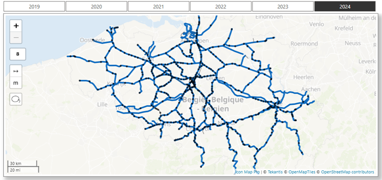
Purpose-built for enterprise reporting, Icon Map Pro brings high-performance, multi-layer spatial analytics into the hands of everyday Power BI users, without the need for specialist GIS tools. It extends Power BI to deliver advanced geospatial visualisation, with support for data-bound circles, clusters, icons, images, lines, polygons, H3 hexagons, and heatmap layers. By incorporating reference layers, you can overlay critical geographic context and make your analysis more meaningful. Designed for Microsoft Power BI, it offers a familiar, intuitive interface to create complex maps at speed and scale.
Extensive Background Map Options
Choose from a wide range of out-of-the-box styles and customise them with your own brand colours and language.
Alternatively, connect to third-party providers such as Mapbox, MapTiler, Ordnance Survey, ArcGIS, Azure Maps, and Mappable. You can even use your own custom images as backgrounds, mapping anything from indoor floorplans to stadium seating. The possibilities are endless.
Powerful Multi-Layer Mapping
Create dynamic, data-centric location-based applications by overlaying multiple geospatial layers on a single map. Use static reference layers or dynamic layers bound to your data model, supporting cross-filtering, highlighting, drill-down and drill-through. Hide or show layers based on report slicers or zoom levels for a truly interactive experience.
Icon Map Slicer
Icon Map Slicer is a companion visual to Icon Map Pro, purpose-built as a slicer visual for Power BI.
It focuses on selecting and filtering data geographically, enabling users to drive analysis directly from the map. With intuitive selection tools and dynamic interactivity, Icon Map Slicer transforms how geography is used in reporting.
Dynamic field-of-view filtering
Icon Map Slicer allows you to dynamically apply filters to other visuals based on the field of view. As you pan and zoom around the map, the rest of the report updates instantly.
Use this in combination with other Icon Map Slicer instances or with Icon Map Pro to place multiple maps on a single page, all kept in sync so that panning in one updates the others.
Flexible spatial selection
Use a variety of selection tools including lasso select, circle distance, or choose a region from a reference layer to select thousands of points efficiently.
These selections act as filters across the rest of your report, delivering fast, accurate geographic filtering without leaving Power BI.
Cross Page Syncing
Fully supports Power BI slicer syncing, enabling fine-grained location selection to filter across multiple report pages and visuals simultaneously.
For example, build multi-page digital twins of an area, select a street or group of properties, and then view detailed breakdowns of key metrics across your report pages, all driven by your map selection.
3D Rendering
Icon Map Slicer adds powerful 3D capabilities to Power BI. Create extruded choropleth maps with colour and height linked to measures, tilt and rotate the view with smooth GL rendering, and visualise lines and H3 hexagons in three dimensions.
Use built-in 3D terrain or your own DEMs to generate detailed landscapes, overlaying data and reference layers to build realistic, interactive digital twins.
Looking for Icon Map v3?
The older Icon Map v3 map visual was retired from Microsoft AppSource in March 2025 and is no longer supported.